Spain: Pedro Sanchez “accelerates” the embargo of weapons in Israel
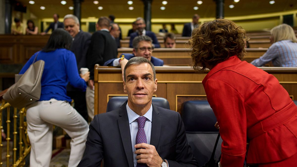
Advertising Pedro Sanchez and the head of Sumar Ioland Dia decided to speed up the processing of the bill on Introduction to the concept of embargo In the Spanish law and, thus, to be able to limit the trade in weapons Israel. Thus, the government is trying to restore political initiative after the judicial wave … Read more